

3D Lidar scan with CAD overlay
- Timothy Rowley
- Nov 10, 2024
- 1 min read
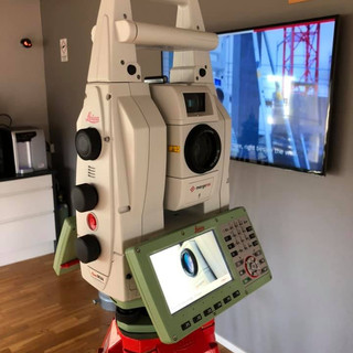
The 3D laser scanner was used to obtain a point cloud scan of the front elevation of the building. This was then traced over within CAD to give an accurate drawing to be used by the architect.


Comments