Elevations with the use of total station and lidar
- Timothy Rowley
- Nov 27, 2024
- 1 min read

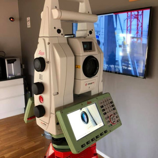
After carrying out a survey of the roof area, the Lidar scanner was used to the rear. Combining both data sets helped produce the rear elevation.


After carrying out a survey of the roof area, the Lidar scanner was used to the rear. Combining both data sets helped produce the rear elevation.


Comments