LiDAR applications in surveying
- Timothy Rowley
- Sep 21, 2024
- 1 min read
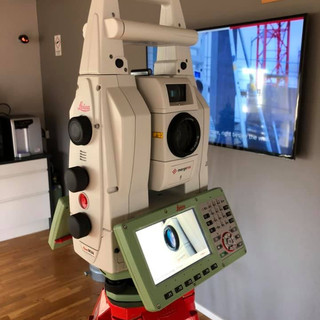
Using the 3D scanner, we are now able to scan full elevations in half the time it took when using a total station. We can then take these scans into AutoCAD and trace over them.


Using the 3D scanner, we are now able to scan full elevations in half the time it took when using a total station. We can then take these scans into AutoCAD and trace over them.


Comments